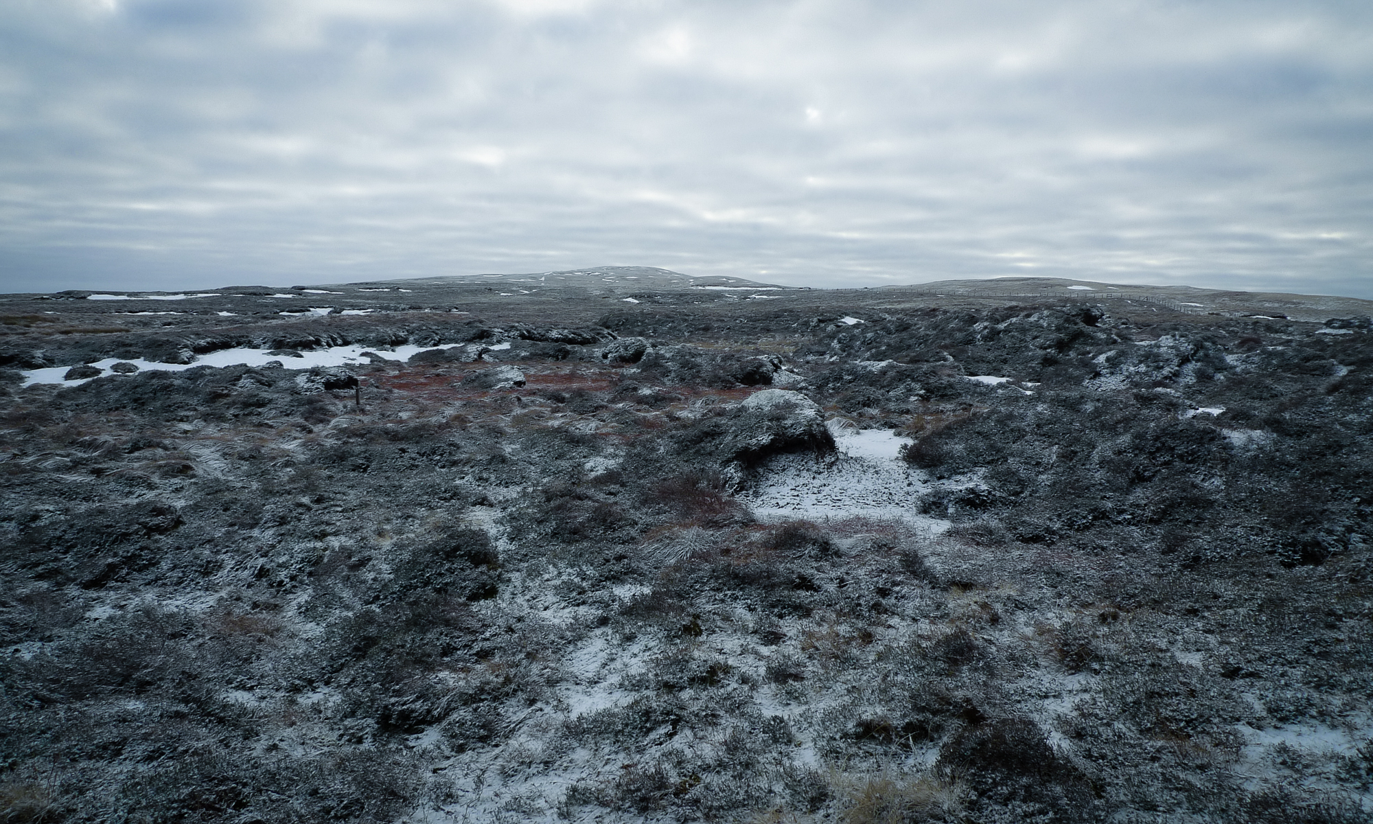
The view from the kitchen window this morning was quite inspiring, with a light dusting of snow on the hilltops. A trip up to the source of the Severn seemed as good a cure as any for the cabin fever that’s been kicking in over Christmas and New Year.
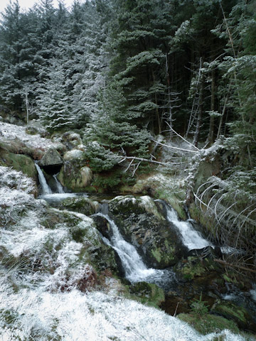
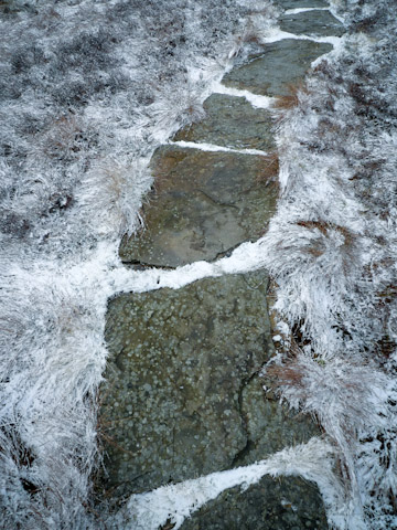
The route is part of the Severn Way and is accessed from the car park at Rhyd-y-benwch, where it runs along a boardwalk and on to a well-defined path following the river upwards through the forest.
The Severn and its tributaries pass through a number of gauging flumes installed in the late 1960s as part of the Institute of Hydrology’s Plynlimon catchment experiment—set up to study the effect of plantation forestry on water yields. Along with another guy from school, I spent some time doing work experience at the Institute’s field station on the edge of the Hafren Forest. We had a good laugh, but everything was fun in those days. On the first of the month we had to check and read all the raingauges in the upper Severn and Wye catchments, some of which were pretty inaccessible even with a Land Rover. I seem to remember it rained a lot.
The Hafren Forest was a very different place in the eighties. Today, large areas have been clear-felled and there are good views from the Severn Way, but back then it was a maze of forest roads and firebreaks. School trips to the nearby Staylittle Outdoor Centre would always involve orienteering exercises where, corralled in between acres of Norway and Sitka spruce, we used to get absolutely lost. It was great.
 Originally planted in the 1940s, the forestry proved to be something of an ecological disaster for the rivers. Conifers were planted to the edges of the riverbanks, which, combined with extensive networks of drainage ditches caused acidification of the water and the widespread loss of aquatic invertebrates and fish. Steps are now being taken to correct this and the Forestry Commission are in the process of clearing conifers from the banks of the upper Severn.
Sadly, the forestry is only part of the story. Acid rain—these days a largely forgotten environmental issue—continues to affect the uplands of Mid Wales. Although the technology exists to remove the harmful sulphur and nitrogen compounds from power station flue gases, this has the effect of increasing carbon emissions. For this reason, we’re stuck with acid rain. pH levels in some cases as low as 4 mean that many of the upland rivers remain almost completely lifeless.
Back at home I lie in the bath, submerged in water, some of which must have come down the river Severn on its journey through the Hafren Forest. I wonder if maybe it fell as snow, high on Plynlimon. It is dark outside and I think of the river out there in the forest, splashing down rock faces, swirling through mossy ravines and churning over and over in the dark pools.